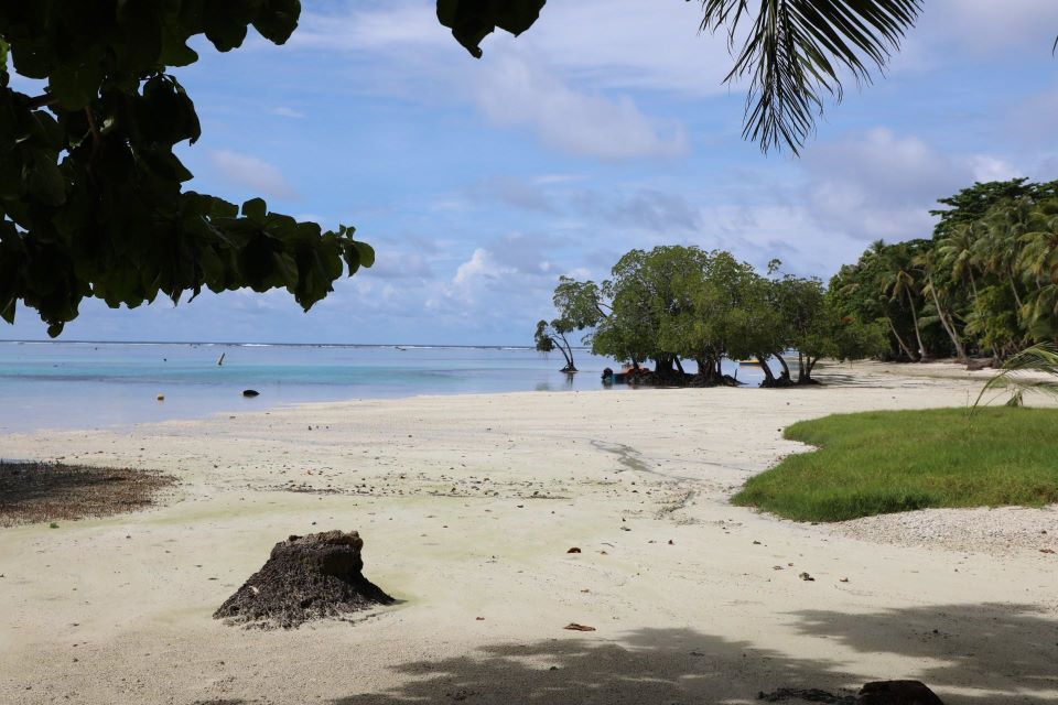
HONIARA, Solomon Islands, 11th November 2024 – People on the Island atoll of Sikaiana will now be able to have access to information relating to the rate of coastal erosion and extent of inundation of their island. Thanks to the construction and installation of a Permanent Survey Marker (PSM) by the Climate Change Division of the Ministry of Environment Climate Change Disaster Management and Meteorology recently.
The successful installation of the PSM and geotagging of housing units are a critical component of the Climate Change Divisions Ongoing Vulnerability and Risk Assessment initiatives
During a multisectoral tour of Sikaiana atoll, led by the Climate Change Division, various assessments were conducted, including the installation of the PSM and geotagging of housing units. These efforts are part of the division’s ongoing work on coastal erosion and inundation mapping for low-lying islands in the Solomon Islands. The newly installed survey marker will provide accurate and reliable horizontal and vertical position references for aerial surveys and coastal profiling works needed to determine the rate of erosion and the extent of inundation from projected Sea Level Rise.
Speaking on site, Geography Information System & Research Officer Mr. Reginald Reuben said the installation of the PSM represents a significant step towards understanding and mitigating the impacts of projected Sea Level Rise due to climate change on low-lying coastal communities not only in Sikaiana but across the Solomon Islands.
“The construction of permanent survey markers were part of the Climate Change Division’s ongoing work on coastal erosion and inundation mapping for low-lying islands in Solomon Islands. The survey marker will provide accurate and reliable horizontal and vertical position references for aerial survey and coastal profiling works needed to detect coastal changes in the future”
He added that the Geotagging of housing units were also carried out as part of the Division’s ongoing work on Vulnerability Assessment. Data and information collected on housing units, will be used as ‘vulnerability indicators of Element at-risk’ in community vulnerability and risk assessments in the future.
The integration of geotagging vulnerability assessments allows CCD to gain precise insights into the most vulnerable and high-risk areas on the island which will enable them to formulate targeted strategies for climate adaptation and resilience building.
The trip to Sikaiana was funded by the government in partnership with the International Organisation for Migration (IOM).
Source: Ministry of Environment Climate Change & Disaster Management


