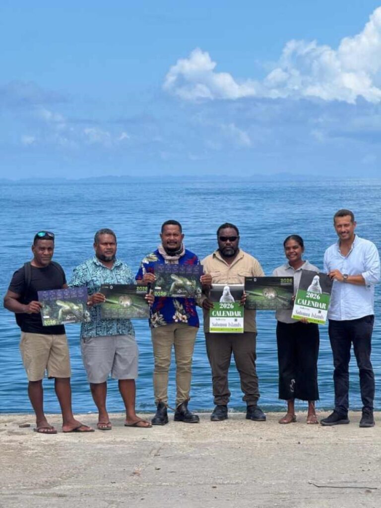
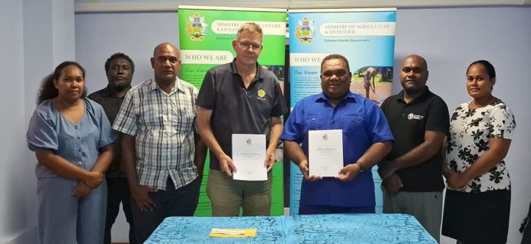
The international seminar titled “E-Navigation on Our Ocean” was successfully held at the Heritage Park Hotel in Honiara.
The event held on 13 May 2025 was co-hosted by the SI Maritime Authority – SIMA and JICA, and showcased international efforts supporting the country’s maritime safety, nautical chart production, and digitalization of marine spatial information.
The seminar opened with a prayer by Mr. John Hugo Bugoro, Vice Chair of the SIMA Board. This was followed by opening remarks from H.E. Mr. Keiichi Higuchi, Ambassador of Japan, and a keynote speech by Hon. Ricky Fuo’o, Minister for Infrastructure Development. The Electronic Navigational Chart (ENC) Launch Ceremony then celebrated the release of the first official ENC of Solomon Islands—an achievement made possible through close cooperation among SIMA, JICA, and the Australian Hydrographic Office (AHO).
In the technical session, Dr. Arata Sengoku, JICA Chief Advisor, explained the importance of hydrographic surveys and nautical charts in ensuring maritime safety. He emphasized that “inaccurate depth information can lead to groundings and economic losses. High-quality hydrographic data is the most fundamental infrastructure for ensuring safety, efficiency, and reliability at sea.”

In the main afternoon session, Mr. Kei Takashita, JICA Deputy Chief Advisor, presented the progress and outcomes of the Project for Development Support of Electronic Navigational Charts, implemented since 2022. The project has focused on strategically important sea areas such as Honiara and Noro Ports, as well as the Blackett Strait and Munda Bar, using cutting-edge technologies including multi-beam echo sounders, drones, GNSS systems, and satellite image analysis. Based on these surveys, ENCs compliant with international standards were produced. In February 2025, the first internationally distributed ENC for Honiara Port was officially published—marking a major milestone for the Solomon Islands.
Mr. Takashita also highlighted the project’s core focus on human resource development. SIMA officers have steadily gained technical skills through training programs in Japan and Australia, including hydrographic surveying, chart production, and quality control. He also reported that the SIMA team had successfully carried out an independent survey in the Tulagi area and was preparing for autonomous ENC production. He remarked, “This project is moving beyond simple technical transfer toward a new stage of self-reliant technical operation.”

Additionally, Mr. Malesi Mani from SIMA presented a detailed explanation of the broader impact of the project—enhancing maritime safety, supporting the national economy, and contributing to marine governance in the Solomon Islands.
Through this seminar, the tripartite collaboration among SIMA, JICA, and AHO was reaffirmed, along with meaningful discussions involving the Pacific Community (SPC), messages from the IHO and JHOD, and progress on data harmonization and quality assurance. The event served as a highly valuable opportunity to strengthen regional hydrographic networks and promote knowledge sharing.
JICA remains committed to working in partnership with SIMA and related agencies to support sustainable maritime safety and regional cooperation in the Solomon Islands.
We sincerely thank all participants and stakeholders who contributed to the success of this seminar.
Source: JICA Solomon Islands


